
Trace a Texarkana Street Address
For a Texarkana address search, begin with the address as written on current mail or a recorded document. Check the parcel first, then compare the mapped site address before following a name into the deed index. That order separates an ownership record from a residence claim. Bowie County lies on the Texas side of a two-state city, so also confirm that the address is in Texarkana, Texas rather than across the state line in Texarkana, Arkansas. A ZIP label is useful, but it does not settle that jurisdiction question.
- Search the address in Bowie CAD. Record the owner name, appraisal account number, property location, and mailing address as separate facts.
- Open the Texarkana GIS parcel viewer and compare the site address with nearby parcels and city-limit layers.
- Use the owner name or legal description in the Bowie County Clerk's Tyler public-record index. Index entries are leads, not final proof of a document's current effect.
- Where a current registered-voter check is appropriate, use the Texas voter lookup as a person-specific confirmation step, subject to its privacy rules.
- For older household leads, compare the street form and number against old directories or a legal description. The historical collections are handled in the Texarkana city directory collections.
That Texarkana sequence keeps the Texarkana facts in their proper lanes. The Texarkana property roll connects a Texarkana account to a Texarkana parcel. Texarkana GIS makes the Texarkana parcel easier to place. The Texarkana deed index can show a recorded transaction. A voter result or an old directory may add a different kind of address evidence, but neither converts the Texarkana property roll into a complete household list.
Search Texarkana Streets in Bowie CAD
Bowie CAD is the strongest first stop for a current Texas-side Texarkana address. Its search supports an owner name, a property address, or an appraisal account number. Use the property address when the goal is a parcel along a named street. An owner-name search can be helpful once the parcel has supplied a name, while an account number is the cleaner choice when it appears on a tax notice or prior record. The results distinguish property location from mailing information. A mailing address can be elsewhere and should not be treated as the physical location of the parcel.
The Bowie CAD search interface shows the three useful starting choices for this Texarkana street directory path.
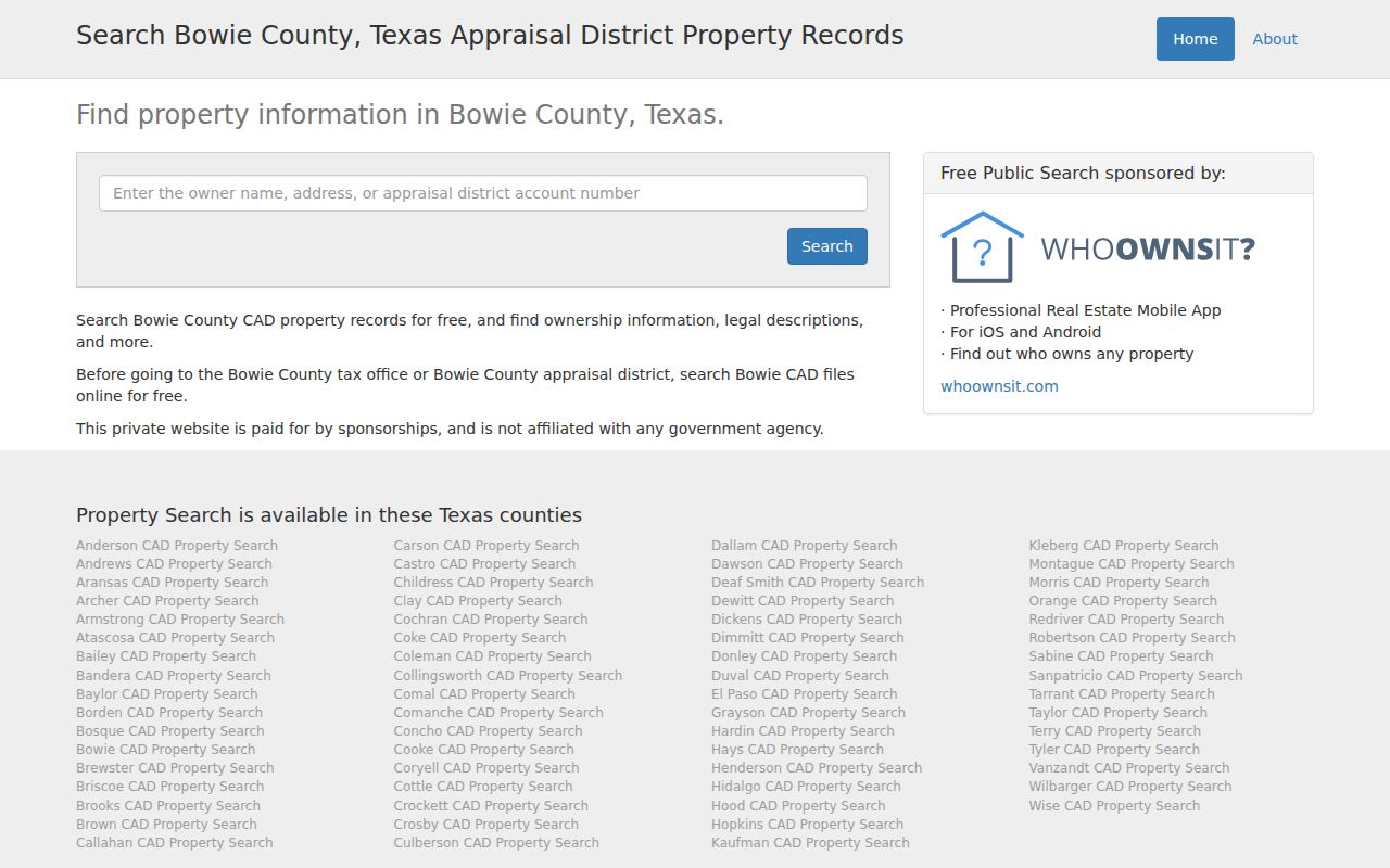
Search the Texarkana street number and name as the Texarkana property location when possible, then save the Texarkana account number before moving into GIS or recorded documents.
| Bowie CAD search choice | Use it when | What to compare |
|---|---|---|
| Owner name | A parcel result already supplied a possible owner | Whether several Bowie County accounts share the same name |
| Property address | You are starting with a Texarkana street and number | Street spelling, number, and the listed property location |
| Account number | A tax or appraisal record gives a specific account | The account's property location and owner entry |
Note: Bowie CAD separates Texarkana property location from mailing data, so keep both Texarkana values labeled when documenting an address trail.
Texarkana Street Property Controls
The Bowie County property-search screen supplies a second view of the local property route. Its captured controls include a search text box, Search By, account type, inactive-account, and pay-status choices. A ZIP field is not exposed on that screen, so use an exact Texarkana street address or known account as the practical handoff from postal research to the property account.
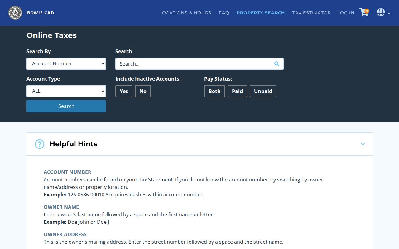
The Texarkana screen's absence of a ZIP input is a useful limit. It supports a focused Texarkana account or Texarkana address follow-up, not a ZIP-wide owner list.
Texarkana Street Addresses Explained
Address research becomes more reliable when the terms stay distinct. The property location is the address attached to the land or improvement in the appraisal record. The mailing address is where the owner receives mail. GIS may display a site address that helps locate the parcel on the map. A deed can instead rely on a legal description, which identifies land by a recorded subdivision, lot, block, tract, or other recorded description. When a street spelling changes or a house number does not match, the legal description and account number are often better comparison points than a guessed match.
- Parcel
- A mapped piece of property tracked by an appraisal account or other parcel identifier.
- Situs address
- The physical property location used to identify a site, distinct from an owner's mailing address.
- Plat
- A recorded map that lays out a subdivision, lots, blocks, streets, or easements.
- Criss-cross directory
- An older directory arranged by address rather than by a person's name, useful for a historical comparison.
These labels help prevent a Texarkana address search from merging Texarkana records that only look alike. A Texarkana property owner can receive mail at a different address, and one Texarkana delivery ZIP can span addresses that are not all inside the same municipal boundary.
Map Texarkana Street Parcels
The city GIS viewer gives the spatial half of a Texarkana street search. It includes parcel and site-address context and layers for city limits, zoning, flood information, wards, and schools. Start by locating the address, then turn on only the layer that answers the next question. City limits help with Texas-side versus Arkansas-side context. Zoning or flood layers describe land-use or mapped conditions, not who occupies the property. Ward and school layers are boundary references, not resident lists.
The Texarkana GIS parcel-viewer item is the source for the mapped layers used in this street-map workflow.
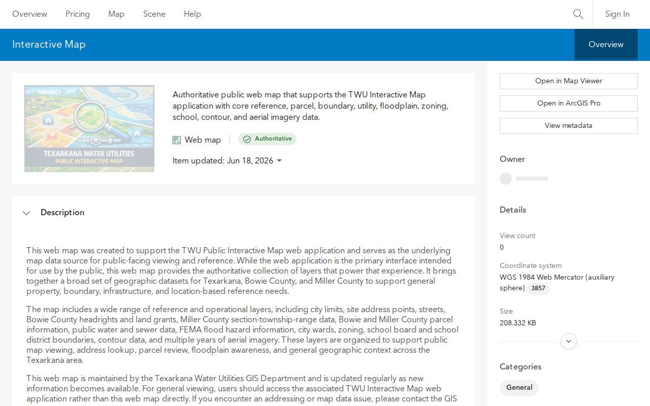
After identifying the right Texarkana parcel, carry its Texarkana site address or Texarkana account details back to Bowie CAD rather than assuming a nearby polygon represents the same property.
Texarkana Street Deed Trails
A deed trail adds time to a street-by-street search. Use the parcel owner, legal description, and any instrument details from the appraisal record to form search terms for the Bowie County Clerk's Tyler index. The clerk's online acceptance page is a locator for the public-record system. It warns that live fields and coverage details need verification, so do not infer an unlisted start date or assume every result includes a usable image. For older research, the source material identifies deed-index microfilm covering 1889 through 1908. That period is an archive-style fallback when an online search does not reach far enough.
The Bowie County Clerk Tyler acceptance page shows the entry point and its index warnings.
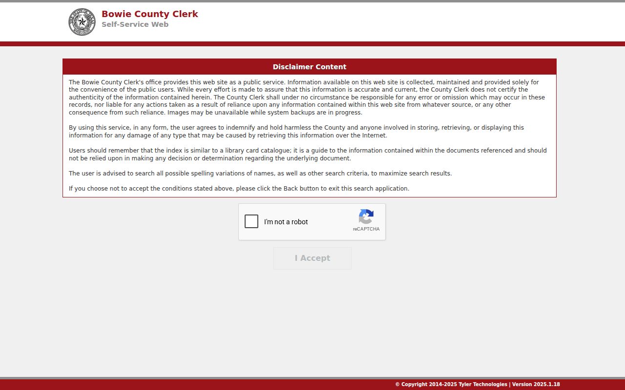
Use a returned Texarkana instrument as a Texarkana record lead, then verify the parties, legal description, recording data, and available image or clerk-held copy before drawing conclusions.
Texarkana Street Index Cautions
The Tyler acceptance screen is an important Texarkana index quirk because it is not itself a completed deed search. It points users to an index with live, unverified field behavior and an unverified online cutoff. Search results can be incomplete, spelling can vary, and index descriptions are not substitutes for the recorded instrument. Build a note from what the portal actually returns. If a historical transaction matters, compare it with the clerk's available record route and the 1889 to 1908 microfilm index rather than treating a blank result as proof that no deed exists.
This is also why a Texarkana street address alone may fail in a deed search. A Texarkana deed can be indexed by parties or described by lots and blocks rather than by the modern street form.
Texarkana Street Voter Context
Voter material can be a narrow, person-specific check after an address and name have been anchored elsewhere. It is not a street roster and it does not identify every person connected with a parcel. The Texas Secretary of State's official voter route serves a different purpose from Bowie CAD: it helps verify registration information under the state's rules, while the appraisal roll connects an owner or account to real property. Keep the two results separate. Protected address information and other protected fields remain outside the kind of street search described here.
For a current Texarkana record, use the official Texas voter lookup only after checking that the Texarkana address is on the Texas side of the state boundary. A Texarkana name match without that jurisdiction check can send a search into the wrong county or state system.
Texarkana Street Records at a Glance
Different Texarkana records answer different address questions. The property roll and GIS viewer are the main current parcel tools. The deed index is the recorded-document path. Old directories can supply historical address leads, while voter information is a constrained person check rather than a block-by-block list. Treat the rows below as a chain of sources, not as one combined database.
| Address-keyed source | Custodian or system | Useful result | Access route |
|---|---|---|---|
| Property appraisal record | Bowie CAD | Owner, account, property location, mailing distinction | Owner, address, or account search |
| Parcel and site-address map | Texarkana GIS | Parcels, addresses, city limits, zoning, flood, ward, and school layers | Public map viewer |
| Recorded-document index | Bowie County Clerk Tyler system | Document leads, parties, and legal-description research terms | Acceptance page and index, with field verification |
| Early deed index | Clerk-held microfilm | Deed-index leads from 1889 to 1908 | Microfilm fallback |
| Voter information | Texas election route | Limited person-specific registration context | Official lookup subject to protections |
The Texarkana account number and legal description are the useful bridge values. A Texarkana street name can vary in punctuation, direction, suffix, or local usage. Texarkana account and plat details make it easier to tell whether Texarkana appraisal, map, and document results concern the same Texarkana property.
Texarkana Street Name Variants
No verified Texarkana street-renumbering year was established in the research materials. Do not invent one to force old and new-looking addresses together. Instead, search the street with plausible punctuation, directional, suffix, and abbreviation variants. Compare the lot, block, subdivision, parcel account, or plat whenever those values appear. This method is slower than relying on a single street string, but it makes the result more defensible when a directory, deed index, and current property record use different address forms.
For an older Texarkana directory lead, write down the exact form printed in the source before translating it into a present-day Texarkana address search. That preserves a useful Texarkana audit trail if the name or numbering later proves to be different.
Note: Search variants and legal descriptions are safer than claiming a renumbering event the reviewed Texarkana sources did not verify.
Texarkana Streets and ZIP Lines
Texarkana streets can carry a delivery ZIP that does not answer the city-limit question. The local ZIP inventory includes geographic codes 75501 and 75503, PO-box codes 75504 and 75505, the RRAD unique or institutional code 75507, and Texarkana College's unique code 75599. Those categories describe mail handling and service geography. They do not prove where a person lives, who owns a parcel, or whether an address is on the Texas side of the boundary.
Use the USPS ZIP Lookup to verify a Texarkana delivery address, then check the Texarkana city-limit layer and county parcel record for the Texarkana jurisdiction. USPS verification is valuable for delivery formatting, but it is not residency verification.
Texarkana Street History Checks
When an address trail reaches beyond current property data, give each source a narrow job. An old address directory may supply a household or street lead. The 1889 through 1908 deed-index microfilm may point to recorded parties. A plat or legal description can connect an older record to a current parcel. None of those sources alone establishes a full present household. Their value is comparison across time, especially where a modern street search offers only a property owner or mailing address.
Keeping the Texarkana date beside every result matters. It prevents a historical Texarkana directory listing from being read as current information and keeps the Texarkana street search centered on what the source actually records.
Limits of Texarkana Street Directories
Texarkana street records cannot establish every person at a Texarkana address. Texarkana property records identify an owner or appraisal account, not a complete resident list. A Texarkana mailing address is not a physical location. Texarkana GIS layers locate parcels and public boundaries, not occupants. USPS checks delivery data, not residency. Texarkana deed indexes provide document leads, and historical directories reflect the period in which they were published. Keep protected information out of any Texarkana address comparison and confirm consequential facts with the office that holds the record.
Lawful use. Use Texarkana address records for personal, lawful research only. Never use an address trail to stalk, harass, intimidate, or harm another person.