
Texarkana Previous Resident Sources
One Texarkana address produces several time layers. Bowie Central Appraisal District and the Texarkana GIS viewer identify the current parcel, present situs address, and legal description. The Bowie County Clerk trail for a Texarkana parcel supplies recorded conveyances. Historical Texarkana city directories supply selected address and household snapshots. Federal census schedules offer a wider Texarkana household view after the 72-year federal release period. Texarkana city permits may provide address-linked project information through MyGov TXK, though no online start year or field list was verified. Treat each layer as evidence of a different relationship to the Texarkana address.
| Source | Years It Covers | Where Held | What It Shows |
|---|---|---|---|
| Bowie deed index and books | Index 1889-1908; detailed books around 1889-1901 | County Clerk and TSL microfilm | Grantor, grantee, legal description, and recording placement |
| Texarkana city directories | Bibliography 1899-1901; listed holdings 1922-1994 | TSL, library, FamilySearch, and licensed holdings | Historical address, household, and occupant clues |
| Sanborn map set | 1896 | Library of Congress | Structure, street, and land-use context |
| Federal census | Released schedules under the 72-year rule | National Archives and approved databases | Decennial household and area context |
| Probate index and minutes | Index 1889-1940; minutes 1889-1931 plus later reel material | TSL microfilm and clerk | Estate leads, heirs, and possible transfers |
For Texarkana history, begin with the current parcel for a recent address question. Begin with a directory year or an old map when the question is about an earlier Texarkana household. A search result is most useful when it supplies the next dated link, not when it is made to prove every part of the history.
Start With the Texarkana Parcel
Current Texarkana property information supplies the bridge to older material. The Bowie CAD search accepts an owner name, a Texarkana address, or an appraisal district account number. Its tips distinguish owner-name formats, an address number plus street without prefix or suffix, and an exact account number. Record the Texarkana property location, appraisal account, owner name, owner mailing address, and legal description as separate fields. The owner mailing address is correspondence information, not proof that the owner lives at the Texarkana parcel.
Then use the Texarkana GIS viewer to place the parcel beside site-address points, streets, parcels, city limits, zoning, flood, ward, school, aerial, and utility layers. The Texarkana viewer gives context and may expose a parcel identifier. It is not a survey or a legal zoning verification. The Texarkana city instructions direct users to request a zoning verification letter for a legal zoning decision.
Note: Save the Texarkana parcel identifier, legal description, printed address, and map date before following a prior resident trail.
Trace Bowie County Deed Transfers
For Texarkana previous residents, deeds establish title history, not necessarily occupancy. Start with the current owner and the Texarkana parcel’s legal description from CAD. Search the purchase deed into that owner in Bowie County Clerk records for the Texarkana parcel, retaining the grantor, grantee, instrument type, clerk file or document number, recording date, book or volume and page, legal description, and related security references when visible. The legal description is the stable bridge when an old street number or street spelling does not match a modern Texarkana address.
- Use Bowie CAD and Texarkana GIS to record the present account, situs address, and legal description.
- Find the current owner’s purchase deed through the clerk’s real-property route using name variants and the legal description.
- Take the seller, or grantor, from that deed and search the seller as an earlier grantee.
- Repeat backward, recording each transfer date, parties, lot or survey text, and document placement.
- Move to clerk-held records or state-library microfilm when the online route does not reach the needed Texarkana era.
- Grantor
- The person or entity transferring an interest in the recorded document.
- Grantee
- The person or entity receiving that interest.
- Chain of title
- The dated sequence of recorded transfers connecting one owner to an earlier owner.
- Legal description
- The lot, block, subdivision, survey, or other formal land description used to identify a parcel beyond its street address.
A deed of trust is a security document, not a conveyance. A release or satisfaction closes that security trail but does not name the next Texarkana owner. Keep a deed, deed of trust, release, probate conveyance, and foreclosure notice in separate columns in the Texarkana research log.
Texarkana Clerk Index Limits
The Bowie County Clerk Tyler entry point begins with an acceptance notice. It describes the index as a library-card-catalog guide, says that an index is not a certified record or authenticity guarantee, warns that images can be unavailable during backups, and recommends spelling variations. The live screen beyond that notice did not render during Texarkana research. No official online cutoff, live field list, image access rule, or complete dropdown options were located.
The Tyler interface should therefore be used as a Texarkana deed locator, not as a claim that every deed or image is online. Verify the current search modes with the clerk or at a courthouse terminal before relying on Texarkana historical clues. The clerk index acceptance screen shows the caution that applies before the index is searched.
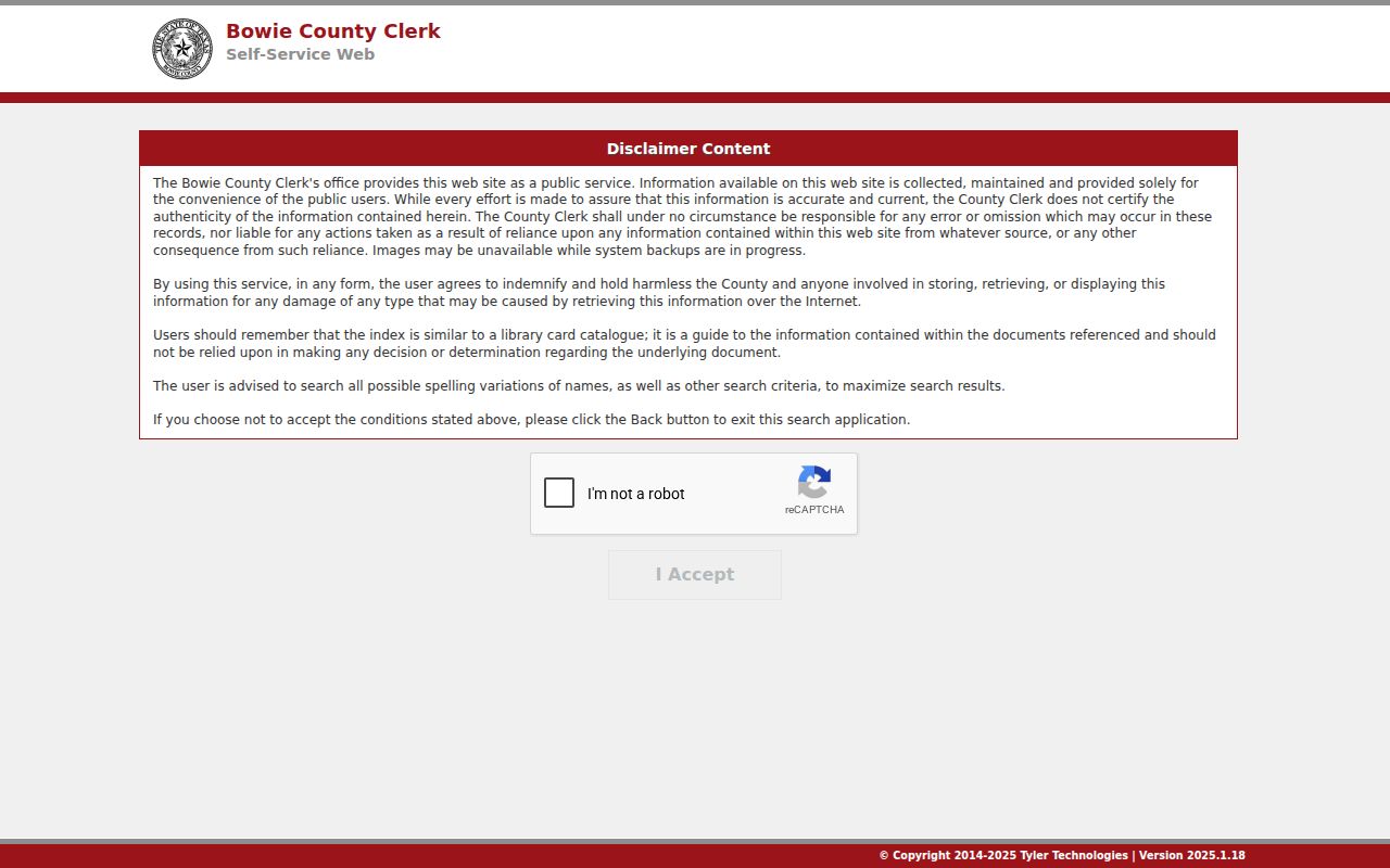
The image is a reminder to retain the actual deed image or certified copy as evidence when it is needed. The clerk office is in New Boston, the Bowie County seat, so a Texarkana address can require a county-office request even though the Texarkana property is on the Texas side of the city.
Texarkana Deed Reels and Gaps
Older Texarkana records have a different access path. The Texas State Library Bowie County microfilm guide lists deed indexes from 1889 through 1908 and detailed deed-record reels around 1889 through 1901. It also notes a missing part of Volume 26. When an online route stops, copy the legal description and dated Texarkana deed clues, then ask the clerk or holding institution for the relevant book, reel, volume, and page rather than guessing at a cutoff.
Early gaps have Texarkana local history behind them. Bowie County’s courthouse-seat changes and a courthouse fire around the era when Texarkana briefly served as county seat destroyed almost all county records, according to the county history. That Texarkana event must not be merged with later courthouse-building history. The microfilm guide is the practical reconstruction map for Texarkana research because it identifies what survives and where volume, image-quality, blackout-page, or index-only limits remain.
Note: A missing Texarkana index entry, missing reel portion, or poor image is a documented access limit, not evidence that no transfer occurred.
Texarkana Directory and Census Flow
Texarkana ownership and occupancy are different questions. The city-directory collections themselves are described on the Texarkana city directory reference; here they work as dated Texarkana household clues between transfers. The Texas State Library lists 39 Texarkana directory years from 1922 through 1994, while bibliographic titles reach back to 1899-1901. A Texarkana reverse or criss-cross section, when a particular volume has one, changes the search direction from address to listed occupant. A verified local reverse-directory run was not located, so confirm the format in each Texarkana volume.
A released federal census can broaden the Texarkana household view around a directory year, but it is a decennial snapshot subject to the 72-year release rule. A directory may name only the household head or business contact. Record the Texarkana directory spelling, page, street, and year, then compare it with the census location and relationship fields. This approach avoids converting one historical listing into an undated claim about who lived there before.
The Texas State Library city-directory guide explains the Texarkana fields, reverse-directory context, and research routes behind the household layer.
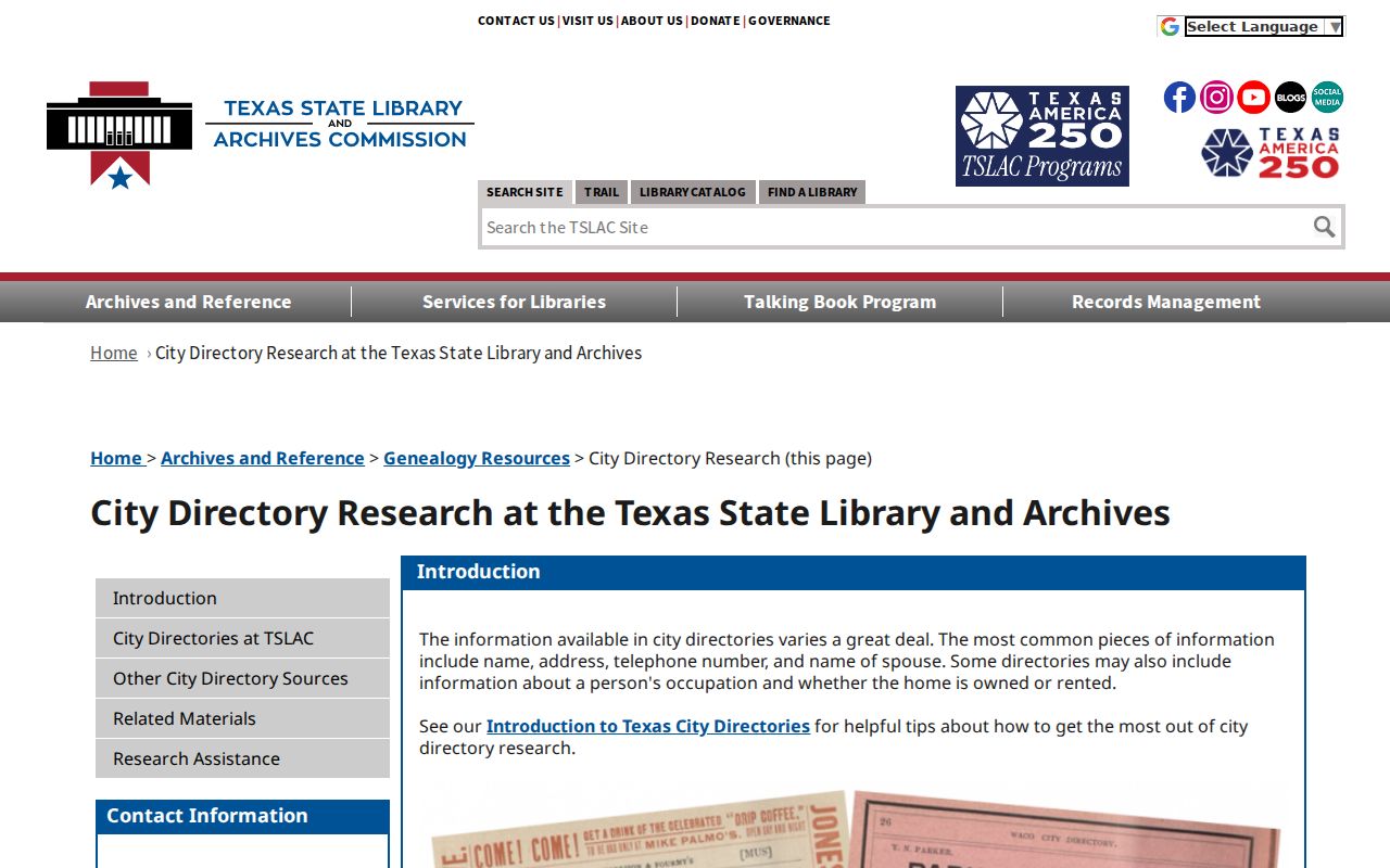
Use that directory guidance with a Texarkana date log: address as printed, year, listed occupant, source page, and the next record to check. It turns a collection search into a repeatable Texarkana house-history trail.
Texarkana Historic Address Repairs
A failed Texarkana historic address search does not prove that the address did not exist. No verified Texarkana street-renumbering year was found. Test alternate Texarkana street spellings, lot and block language, subdivision plats, the legal description, adjacent parcels, an 1896 Sanborn sheet, and a directory’s address-order section before calling the chain broken. The 1896 Sanborn map set has 12 sheets and can connect a Texarkana structure, business, street layout, and land-use context to an earlier era.
Texarkana Sanborn evidence dates the map’s depiction of a structure or use, not a resident. If a sheet shows a building but a directory does not show a household, keep Texarkana structure history and occupancy history separate. The same care applies when Texarkana sources cross State Line Avenue: a newspaper, directory, or family record on the Arkansas side should retain its own Texarkana source, state, and county label.
Texarkana Probate and Death Endpoints
An obituary or estate record can explain why a Texarkana address trail changes, but each has its own limits. The state library guide lists City of Texarkana death books from 1910 through 1929 and county death records from 1932 through 1966 as separate series. A person who lived in Texarkana may have died elsewhere, so a Texarkana search may also require a state vital-record route, another county, or a newspaper source.
The Bowie probate case index spans 1889 through 1940, and probate minutes relevant to a Texarkana address begin in 1889 with later reel material. The WPA workers created an alphabetical surname index, but only the index was filmed. Use it to request the minutes or underlying clerk file for that Texarkana estate lead, then compare the dates, heirs, and later estate transfer with deed records. An obituary can supply family and a death date, but it remains secondary evidence until checked against the proper Texarkana record source.
Note: Mark each person as owner, occupant, heir, applicant, or mailing contact rather than treating those relationships as interchangeable.
Texarkana Previous Resident Boundaries
Texarkana previous-resident research is most useful for family history, estate and heir questions, building history, or personal curiosity about a dated address. Use the minimum public information needed to understand the Texarkana trail. Do not infer that a deed party, tax-mail recipient, permit applicant, or nearby person was a Texarkana resident without a dated source that supports that relationship.
Protected Texarkana addresses and redacted details remain protected. Texas public-record access has exceptions, and the appropriate Texarkana or county custodian decides whether a requested record can be released. The best final product is a modest Texarkana timeline that identifies the source, date, jurisdiction, and relationship for every step.