
Texarkana Neighbors by Block
Immediate Texarkana block records are best understood as a small geographic question, not a name search. The Texarkana city GIS viewer shows which parcel polygons share a boundary or frontage with the target. Texarkana CAD then supplies the record tied to a parcel. Bowie County deed records can confirm a Texarkana title transfer, while a dated voter-file request may show a registration relationship if it is properly released. A Texarkana reverse directory or newspaper notice can describe an earlier block, and an association can provide public community contacts. Each one has different limits.
| Lead Source | What It Shows About a Block | Access |
|---|---|---|
| Texarkana GIS viewer | Texarkana parcel shapes, site addresses, adjoining polygons, and jurisdiction layers | Public map; popup fields were not fully captured in research. |
| Bowie CAD for Texarkana | Texarkana parcel owner, mailing and situs addresses, legal description, value, and exemption clues | Public search; owner is not every occupant. |
| Bowie County Clerk for Texarkana deed index | Title transfers, legal description, and recorded document references | Tyler route and older Texas State Library microfilm. |
| Texarkana Texas voter-file request | Registration at an address as of the requested file date, if released | SOS or county Form 24 route with statutory restrictions. |
| Texarkana neighborhood associations | Named community boundaries and public officers or contact routes | City page; no general member directory. |
| Texarkana library and newspaper sources | Dated notices, earlier directory entries, obituaries, and local context | Library databases, NewsBank, and Library of Congress holdings. |
Texarkana parcel ownership and household membership are different things. A Texarkana CAD account may give an owner’s mailing location and the property situs. The Texarkana mailing location can belong to an agent, business, or tax correspondence destination. A homestead exemption can support an owner-occupancy inference only when paired with a dated record. It does not establish every person connected with the address. Keep Texarkana labels such as owner, title party, applicant, registration, and historical occupant separate in notes.
Map Texarkana Neighbor Parcels
The Texarkana adjacent-parcel method starts with the target and proceeds outward in a limited, repeatable order. It avoids treating a radius on a Texarkana map as proof that people are connected. Save the Texarkana target address and the date of the map view. Then use only the polygons sharing the target’s frontage or boundary. The city map’s identify and measure tools are useful for geographic context, but the viewer is not a survey and does not settle a legal boundary question.
- Search or zoom to the target in the Texarkana GIS viewer. Turn on Texarkana site-address points and parcel layers before clicking the target polygon.
- Record the Texarkana target’s public map identifier and legal-description clue. Click each polygon that shares a boundary or frontage, rather than assuming every nearby point belongs to the block.
- Take each identifier to Bowie CAD for Texarkana. Retain the minimum public owner, situs, mailing, and account facts needed to distinguish the parcel.
- For a Texarkana title question, use the legal description and party names in the Bowie County Clerk index. The clerk record, not the map, supplies the recorded transfer trail.
The Texarkana GIS ArcGIS item is the source for the public parcel and layer viewer used in this Texarkana block process.
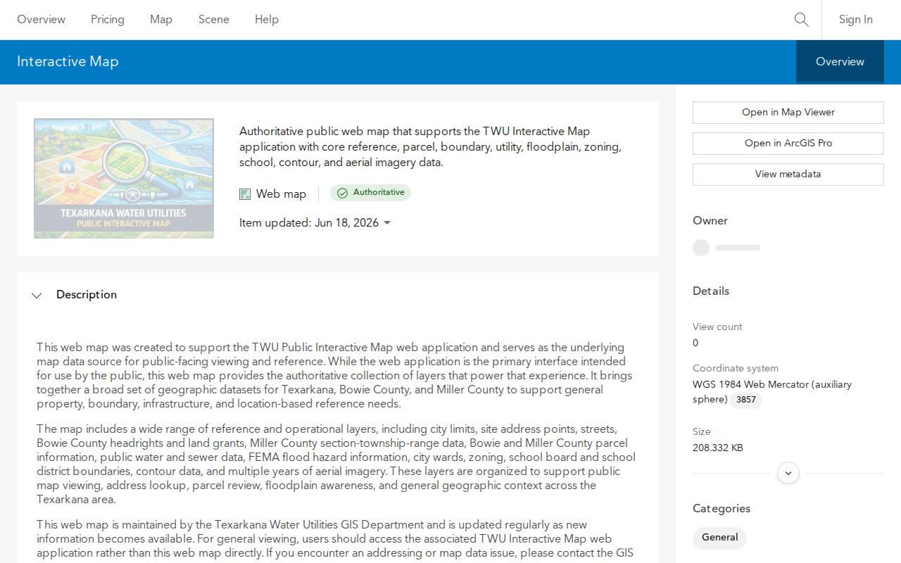
The Texarkana viewer establishes polygon context first; CAD and the clerk record provide the dated parcel and title evidence that follows.
Texarkana CAD’s search tips support owner name, owner address, property location, and appraisal account approaches. A Texarkana account number may use dashes, owner searching begins with the last name, and a property-location search uses the street number and street without a prefix or suffix in the displayed guidance. For a whole named street rather than the immediate block, use the Texarkana streets directory workflow, which follows address-keyed records at a broader scale.
Texarkana Neighbor Map Layers
The Texarkana GIS is a layer stack, not a person database. Its Texarkana public layers include city limits, site-address points, streets, Bowie County headrights and land grants, Miller County section-township-range, Bowie and Miller parcel information, water and sewer, FEMA flood hazards, wards, zoning, school boundaries, contours, and aerial imagery. These Texarkana layers can explain why two nearby addresses have different city, county, school, or flood context. They do not establish a relationship between their occupants.
The Texarkana City Development Map Viewer instructions direct users to select the Zoning Map image, choose the interactive map, accept the notice, and use the upper-right tools and layer icon. For an official Texarkana zoning conclusion, request a Zoning Verification Letter from the city. Texarkana metadata dates shown for map layers are publication or update dates, not coverage dates for every underlying record. Parcel, zoning, and street-centerline layers should therefore be read with their stated date and context.
The Texarkana city development-map guidance shows the layer controls used to place a Texarkana block question in its proper parcel and jurisdiction setting.
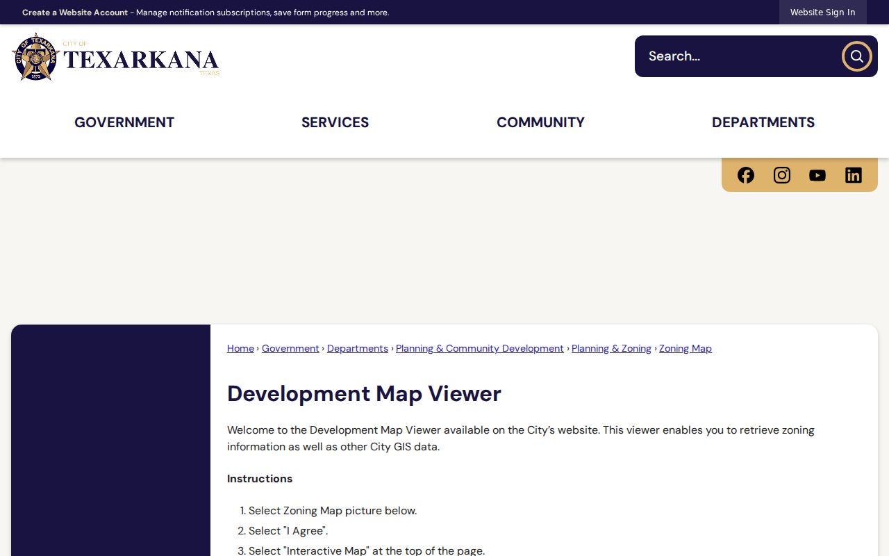
Use Texarkana layers to identify the next public custodian, then verify the parcel, court, or city record through that custodian.
Texarkana Neighbor CAD Trail
Bowie CAD separates the Texarkana parcel record from the people associated with it. A current Texarkana account can show an owner name, owner mailing address, property location or situs, legal description, appraisal facts, and exemption or status clues. The Texarkana legal description, subdivision, lot, or block is the useful bridge to a deed. Account type, inactive-account, and paid or unpaid filters appear on the property-tax search interface, but the complete live option list and result fields were not captured. Do not claim a field that the official screen did not expose.
When a Texarkana parcel needs a historical check, search the purchase deed using the legal description and current owner, then follow the prior seller as a possible earlier grantee. Record the Texarkana grantor, grantee, instrument type, clerk number, recording date, book or page, and related deed-of-trust or release references. A deed of trust is security, not a transfer of title. Older Texarkana online gaps have a fallback: the Texas State Library guide lists Bowie deed-index microfilm for 1889 through 1908 and detailed deed-record reels around 1889 through 1901, with a missing part of Volume 26.
Note: A Texarkana parcel record can confirm an address relationship, but it cannot make a current occupancy conclusion from a mailing field alone.
Texarkana Neighbors Voter File
A Texarkana voter file is governed by a different access path from the individual Texas My Voter Portal result. The SOS public-information forms include Form 24-1 for voter-registration data, Form 24-2 for statewide registered-voter search, and Form 24-3 for a Texarkana public-information request. Form 24-1 asks for requestor identity and an affidavit, and it allows active and suspense Texarkana selections. Delivery can use CD-ROM or FTP. The exact fee table and complete Form 24-2 choices were not captured, so obtain the current form details before requesting a large extract.
Texarkana public voter categories include name, date of birth, voter ID number, and elections voted, subject to statutory confidentiality and address protections. The fact of participation is public, not how a Texarkana person voted. A proper Bowie County request should identify the Texarkana file date, active or suspense status, format, and any precinct or district limit. A registration address applies to that version of the file. It is not proof that someone is at the address today, and protected records must not be cross-matched to reveal a protected location.
Texarkana Neighbor Association Contacts
Texarkana’s public association list is useful for Texarkana community boundaries and volunteer contacts, not for building a block roster. The Texarkana city defines these associations as volunteer boundaries of residents, businesses, churches, and schools that build relationships, advocate, and provide a city voice. Believe in Beverly, New Town, and Rose Hill Neighborhood Improvement Association are listed with public officers or contact routes and a Texarkana boundary-map link. The city does not publish a general membership list, dues, meeting dates, or private member information.
| Association | Publicly Listed Contact Structure | Appropriate Use |
|---|---|---|
| Believe in Beverly Neighborhood Association | Kristi Kendrick is listed as president with a public city-page contact route. | Boundary and community-history lead; no member roster. |
| New Town Neighborhood Association | President Melva Flowers and other officer roles are publicly listed. | Public meeting or neighborhood-history contact; no private directory. |
| Rose Hill Neighborhood Improvement Association | Rhonda Dolberry, Mae Hamilton, and Joyce Johnson are publicly listed in officer roles; secretary is vacant. | Community-improvement and boundary context; no household list. |
The Texarkana city neighborhood associations page supplies published contact routes for lawful Texarkana community context.
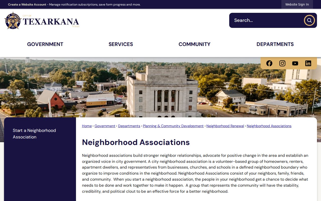
A public Texarkana officer listing can point to community history or a meeting contact, but it does not disclose association membership.
Texarkana Neighbor Tool Comparison
Official records and commercial neighbor tools serve different purposes. An official parcel, deed, or voter record identifies the custodian, source date, and public-access limits. A commercial category may combine public and commercial material, may lag a source update, and may merge people with similar names. Treat any nonofficial match as a lead to test against the actual custodian record. No tool can turn nearby parcels into a complete current household list.
| Question | Official Source Path | Commercial Category |
|---|---|---|
| Which parcels touch the target? | GIS polygons, site-address points, and layer date. | May show an address grouping without the city’s parcel context. |
| Who holds title? | CAD plus the County Clerk’s dated deed record. | May carry an older or mismatched owner association. |
| Was a person registered at an address? | Authorized voter-file route with file date and protections. | Cannot override statutory confidentiality or a protected address. |
Texarkana Neighbors Across State Line
Texarkana’s bi-state geography is a practical comparison point for every block search. Texarkana, Texas is in Bowie County, while the Arkansas side is in Miller County. The GIS includes both Bowie and Miller parcel layers, so check the layer and city-limit context before choosing a custodian. A nearby property can have a different county, state, court, school, or city record even when the postal city name looks the same.
State Line Avenue, Nash, Wake Village, New Boston, Red Lick, Liberty Eylau, and the Bowie and Miller names should be retained as separate search terms. Neighborhood labels such as Beverly, New Town, Rose Hill, Kenwood, Highland Park/Bingham Park, and Downtown can guide an archive or newspaper search, but they do not replace a legal parcel boundary. A postal address is a delivery label, not a municipal boundary. Save the county, state, and source year with each neighbor-related record.
Texarkana Neighbor Privacy Limits
Public access has firm limits. Parcel accounts do not enumerate all household members. Utility customer lists, delivery records, and protected motor-vehicle information are not substitute sources. Texas confidentiality guidance lists dates of birth, driver-license numbers, license plates, payment-card data, insurance information, juvenile records, and certain protected officer or family information among common redaction categories. A permit applicant can be a contractor and a deed party can be a trustee, so neither label alone identifies a resident.
The Texas Address Confidentiality Program serves qualifying survivors with a substitute mailing address and forwarding. Do not try to reverse that address through parcels, voter extracts, obituaries, association contacts, or nearby records. The city association page also has no general membership roster. When a public record is wrong, ask the correct custodian about its correction process rather than creating an informal replacement record.